Johnston Canyon and Larry's Camp - Trip Report

-
Distance
Trailhead To Upper Falls: 2km one way (4km round trip)
Upper Falls To Larry’s Camp: +2.2 km one way (14.4km total round trip)
-
Elevation Gain and Loss
Trailhead To Upper Falls: +160m
Upper Falls To Larry’s Camp:+75m (449 total gain, 137 total loss)
-
Hiking Time
2 hrs round trip to Upper Falls. Check out our blog post on how to calculate how long a hike will take you
-
Starting Location
Johnston Canyon Trailhead. There are outhouses and unreliable cell service at the trailhead.
-
Permit Info
A National Park Pass is required. If camping at Larry's Camp, an overnight camping permit is also needed.
-
Transportation Options
ROAM Bus Route #9 operates on weekends through the winter, and daily in summer (May through October). Advanced reservations are recommended.
-
Season
The trail can be hiked any time of year, but the best summer conditions are generally found May - October.
Trip Report
The trail starts out through open forest, winding along the side of the creek. This section of the path is paved, and so would be an appropriate hike for folks who require accessible pathways. Soon railings appeared on either side of the walkway, and the canyon walls started to get steeper. Sometimes the walkway was bolted to the side of the canyon, just above the creek. Other times it wound its way upwards to look down into impressive depths. The walkway made it possible for us to easily traverse terrain that just wouldn’t be possible otherwise (without technical climbing or canyoneering gear, anyway). The lower falls featured a little side trip into a limestone cave, which was fun to check out.
There are several endangered species that make the unique ecosystem of Johnston canyon their home. Black swifts nest in the rocks high above, and an incredibly rare species of algae found nowhere else on earth lives right beside the Upper falls, so it’s important to respect the signs and closed areas for the benefit of local wildlife.
The trail departed from the canyon and up into the forest, but we could still tell we were in a unique place. Soon the railings were back and we got to experience the beauty of the upper falls from a great vantage point. On a hot day the mist from the falls is so refreshing!
Johnston canyon is an amazing place, but it can be busy as well. Sometimes when we are planning to hike well past the canyon with big overnight backpacks we will elect to take the nearby Moose Meadows trail, for a little more space and where our big backpacks won’t crowd the tight catwalks. If you’ve been to the canyon before, bypassing it can make sense, but if you’ve never experienced it, then it’s totally worth exploring no matter the size of your pack.
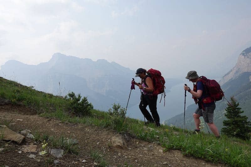
Beyond the upper falls, the trail starts to get a bit steeper, and we had to work a bit harder that we’d had to so far. The trail was still nicely level and had a manageable grade, so with good pacing we were able to make steady progress. We made our way along the low Eastern slopes of Helena ridge, enjoying the shade offered by the forest on the hot day. Soon we were trending downhill. The trail was a little eroded and scrappy in a few places, but small careful steps allowed our team to avoid any wipeouts, and before we knew it, we were at our next destination: the Ink Pots!
The Ink Pots are a series of small, interconnected ponds that are each a different and stunning colour ranging from blue, through aqumarine, to green. They are spring fed, and you can even see the water bubbling up through the sand at the bottom. Different ponds fill at different rates, so each pond has a different kind and size of minerals suspended in them. These different sized particles reflect light back in different ways, giving each pond its own hue.
We explored the ink pots, and then had lunch at the side of the creek and dipped our toes in the cool running water while taking in the mountain vistas that had opened up. What a treat!
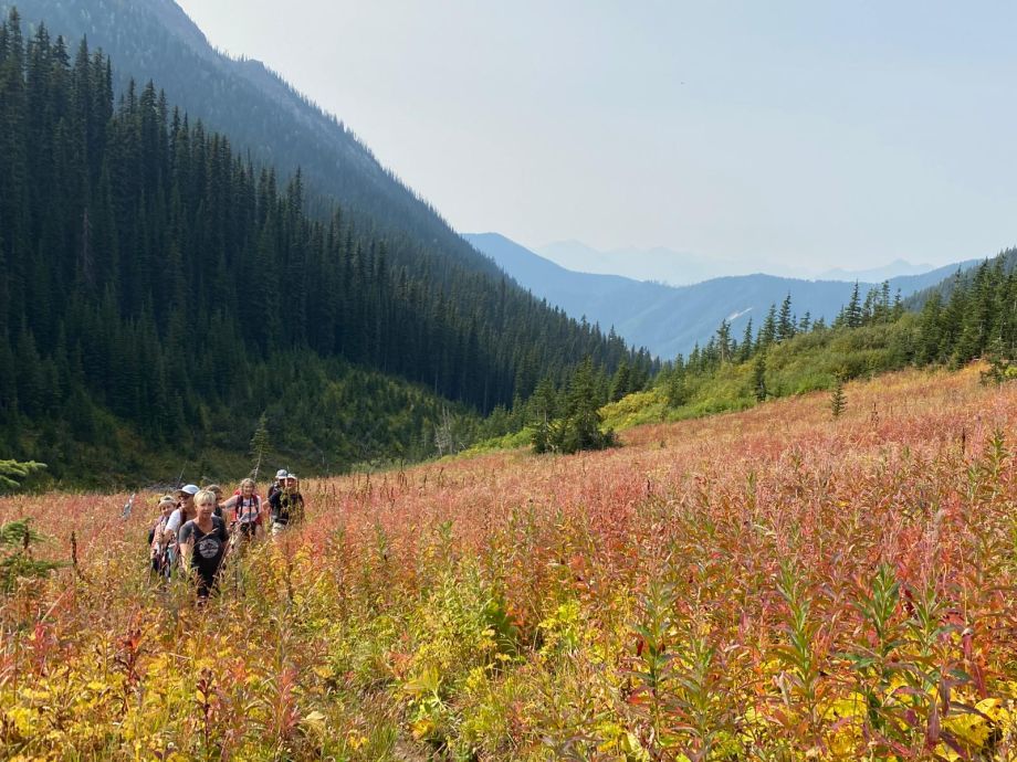
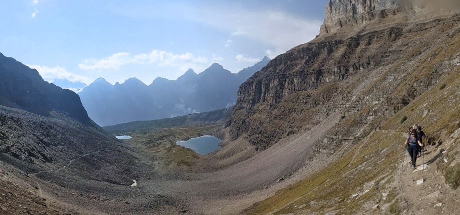
After the inkpots, we packed up our stuff and continued on up the valley. There were several bridges to navigate, the first was over the rushing Johnston Creek (which would flow down to become Johnston falls in the canyon), and others were over dry creek beds. We hiked this part of the trail at the end of July, so some of the bridges are meant to keep hikers out of the streams and mud in spring conditions. The valley offered lots of open views of Mount Ishbel with it’s striking limestone features and massive Mystic Peak. This was prime bear territory, so we were glad we were equipped with bear spray and the knowledge of how to travel in bear country. The wildflowers were gorgeous and in their full glory, and we stopped many times to admire them.
The hike was fun and the views amazing, but we were happy to arrive at camp! This site has been upgraded to the modern Banff National Park backcountry camping standard with level tent pads made of well draining wood chips, picnic tables, and easy to access bear lockers.
Other Posts of Interest
Related Trips & Courses
Fresh off the Press
Most Popular Stories
Tags
Spread the Love - Share this article on your socials...


